Glenwood Canyon: An I-70
Odyssey
Photo Album Page 2
![]()
![]()
![]()
![]()
![]()
![]()
Photo Album: Page 1 • Page 2 • Page 3
The photo album goes from west to east. All pictures taken 22 June 2002. Here on page 2 of the photo album all the photos center around the Hanging Lake area of Glenwood Canyon.
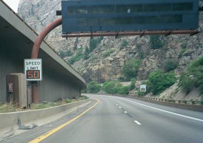
The variable speed limit signs and VMSs eastbound
approaching Hanging Lake.
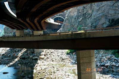
The view from the recreation trail at the west portal of the
Hanging Lake Tunnel. You can see the viaducts taking I-70
from the north back over to the south bank into the tunnel.
The lower viaduct is the ramp from eastbound I-70 to the
Hanging Lake rest area.
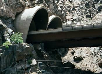
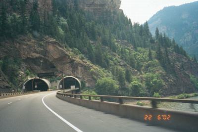
Another view of the west portal of the Hanging Lake Tunnel.
Note how the road goes directly from viaduct to the tunnel.
And finally a third view of the west portal of the Hanging
Lake Tunnel.
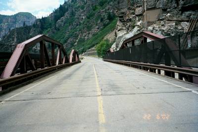
Looking west on what is old US 6 where it has a bridge over
Shoshone Dam. The road now connects I-70 to the Hanging Lake
rest area.
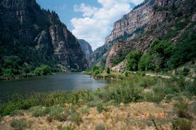
Looking west at the Hanging Lake trailhead. I-70 is
completely removed from the canyon here, inside the Hanging
Lake Tunnel. Here what I call "Lake Shoshone" has formed
behind the Shoshone Dam.
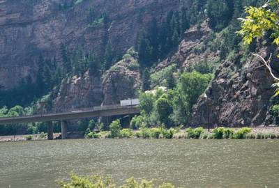
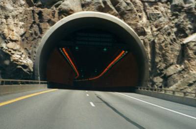
The view looking across "Lake Shoshone" at the east portal
of the Hanging Lake Tunnel. I took the picture just as a
semi was disappearing into the tunnel.

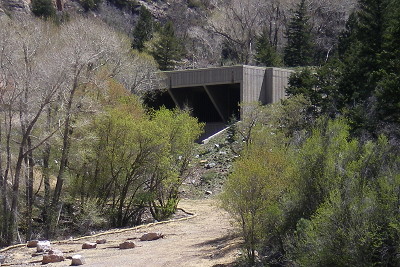
A view across "Lake Shoshone" of the control building for Hanging Lake
Tunnel, in the valley of Cinnamon Creek between two mountains. It has
no road access, the only way to it is from within the tunnel. (Photo
from May 2008)
Closeup of the control building. (Photo from May 2008)
Another view of the east portal.